Introduction to Da Chong Mountain in Quang Ninh
Da Chong Mountain (“Stacked Rock Mountain”) in Quang Ninh is one of the most appealing, unique, and adventurous destinations in Vietnam’s mining region. It sits along the border of Minh Thanh Ward in Quang Yen Town and Sub-zone 91 in Bang Ca Commune, Hoanh Bo District—roughly 40 km from Ha Long City and 18 km from Uong Bi City—featuring stacked boulders projecting out at the edge of the forest in a dramatic, challenging setting.
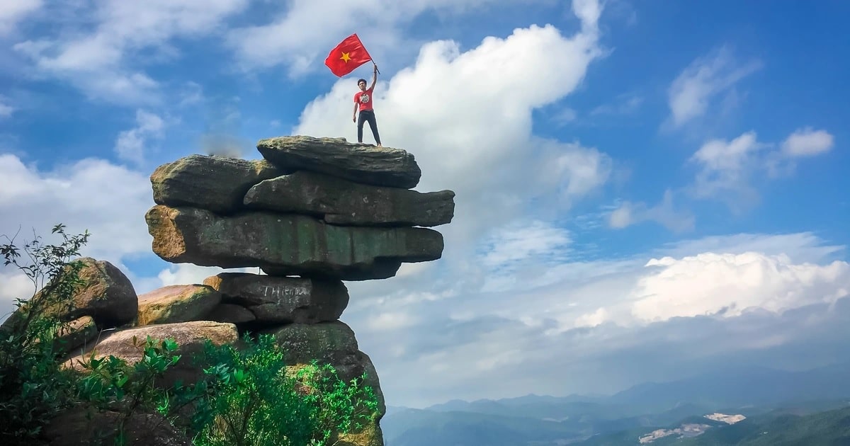
Da Chong Mountain in Quang Ninh
According to local elders in Bang Ca, the river winding past Quang La and Bang Ca once had guard posts along its banks and was called Don River. One day, two deities admiring the scenic river accidentally got their clothes wet and hung them out by resting a pole across the high hills toward Yen Lap.
Because the ridge on the Bang Ca side was too low, they stacked slabs of rock to level out both ends for their drying pole—giving rise to Da Chong Mountain, appearing precarious yet standing firm ever since.
With dozens of natural rock slabs of varying sizes stacked precariously among mountain woods at an elevation of 400 meters, Da Chong Mountain offers a thrilling test of stamina and nerve for seasoned adventure trekkers. From above, you can look out over Yen Lap Lake, sweeping pine forests, and open sky while leaving daily stress behind…
Read more: Discover Notable Tourist Attractions in Quang Ninh
How to Get to Da Chong Mountain
Reaching Da Chong Mountain in Quang Ninh involves navigating rugged mountain and forest routes via one of two main approaches: vertically from central Hoanh Bo District or horizontally from Quang Yen Town. Going vertically takes you past apple, sugarcane, and guava farms in Son Duong Commune (Hoanh Bo), the Thanh Y Dao cultural preservation area in Bang Ca, and Quang La’s flower road to Khe Lieu, where you take a boat across Yen Lap Lake for about 45 minutes amid lovely lake scenery before landing at Khe Mung and hiking roughly 1.5 hours to the rock formation.
For the second route, travel from Quang Yen Town along National Highway 279 for about 20 km to Bang Ca Commune (Hoanh Bo), then hike roughly 2 km into the woods to Da Chong Mountain—taking extra care on steep climbs and descents.
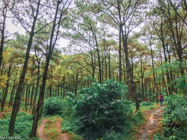
Forest trail leading to Da Chong Mountain (photo: Linh Duc)
Whichever route you choose, prepare thoroughly before setting out: wear comfortable footwear and weather-appropriate clothes, and pack a hat, sunglasses, sunscreen, water, snacks, and a camera or phone to capture the scenery.
Arriving at Da Chong Mountain, visitors are struck by the unusual natural sight of boulders stacked atop one another right at the forest edge—ranging from car-sized blocks to bowl-sized stones fitted together like a natural sculpture.
From the mountain, views sweep across Yen Lap Lake and Minh Thanh Ward. Yen Lap Lake is a roughly 400-hectare reservoir built in 1979 for irrigation and local water supply, featuring calm, green water year-round, while Minh Thanh Ward in Quang Yen Town covers about 8 km² with around 10,000 residents in a key socioeconomic area of Quang Ninh Province.
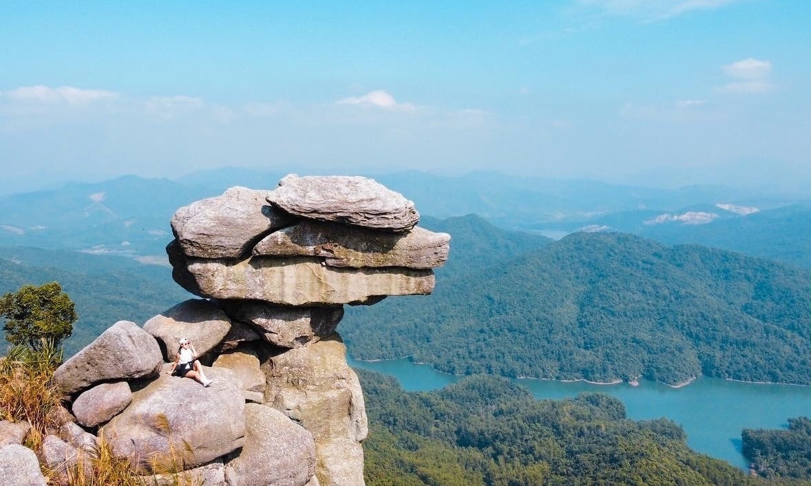
Yen Lap Lake viewed from Da Chong