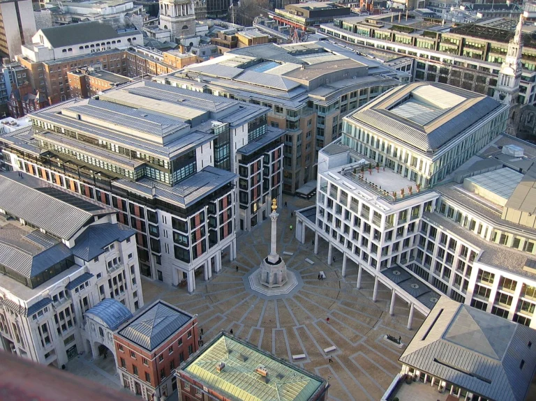
Tracing back to the late nineteenth and early twentieth centuries, as Western colonialism extended its expansive reach into the Far East, the rugged mountainous frontier along the Vietnam–China border witnessed one of the boldest and costliest engineering feats in global transport history: the Yunnan–Haiphong Railway, also known as the Dian-Vietnam line (CIY). Amid the shifting geopolitics of the imperial era, this grand project was initiated and championed by Paul Doumer, Governor-General of French Indochina—an ambitious strategist who dreamed of tapping resource-rich southwestern China via a vital artery connecting the Gulf of Tonkin with the misty Yunnan plateau. To turn that geopolitical vision into steel and sweat, the colonial apparatus mobilized top specialists of the day, with chief engineer Paul Bonin and on-site chief architect Albert Vial tasked with solving a near-impossible terrain puzzle at a sharp bend in the deep valley of Wujiacai, where the Nam Khe (Nanxi) river rushes through sheer gorges.
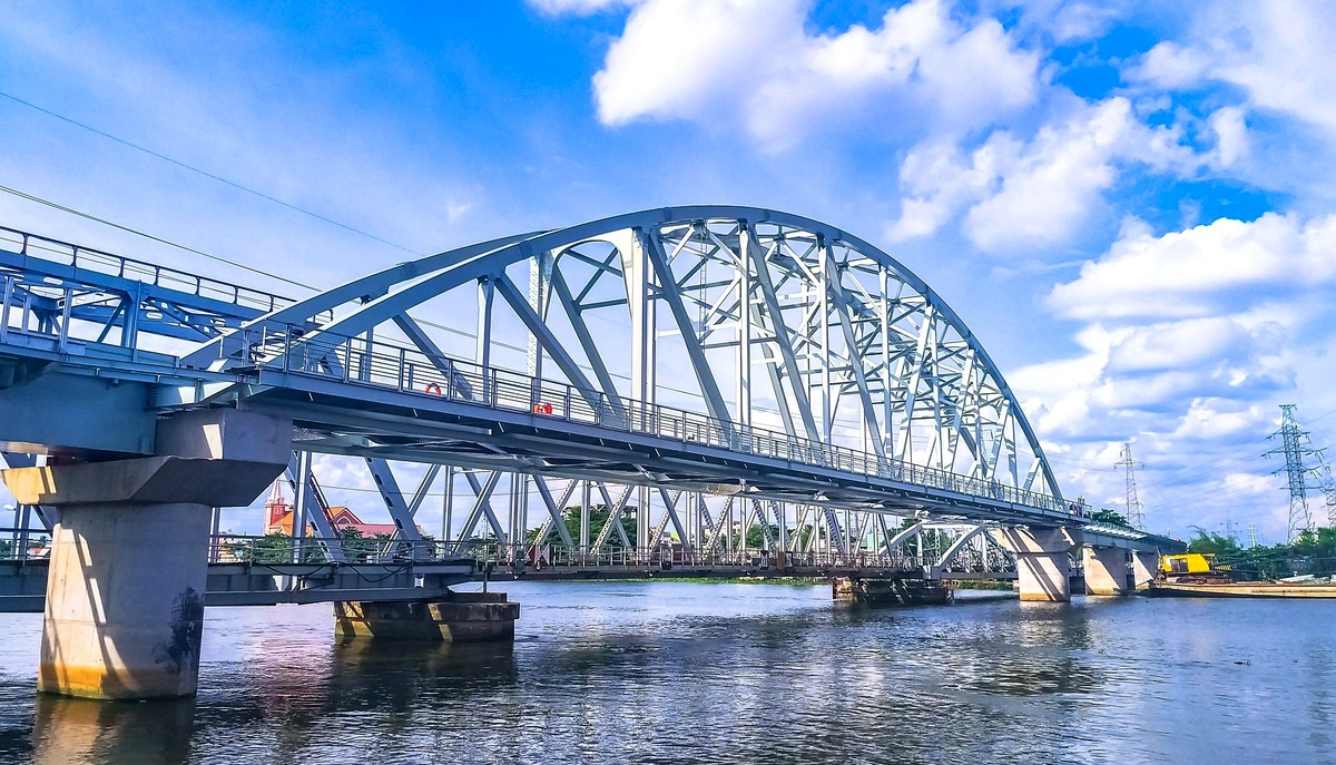
Detailed plans moved forward rapidly under the backing of major heavy-industry firms from the metropole, notably the Société de Construction des Batignolles, which handled direct work from component casting and prefabrication to final steel erection. In March 1907, the ring of hammers, blasting charges, and roaring machinery broke centuries of primeval stillness, launching one of the most grueling construction campaigns in Indochinese history. Under scorching borderland sun, raging tropical diseases such as forest malaria, and harsh labor conditions, tens of thousands of laborers—including tens of thousands of Vietnamese coolies and Chinese workers—toiled along sheer chasms to haul multi-ton iron girders up into the highlands. Through sheer endurance and the blood and sweat of impoverished local workers facing peril day after day, on December 8, 1908, the main span of the bridge—shaped like the Chinese character “ren” (人, person) and romantically called Le Pont de Nam-Keun by the French—was formally joined to the astonishment of international engineers. Following strict technical completion work, the entire railway line and this grand bridge officially opened to traffic on April 1, 1910, setting an unprecedented record in East Asia for rack-railway bridge engineering across rugged gorges.
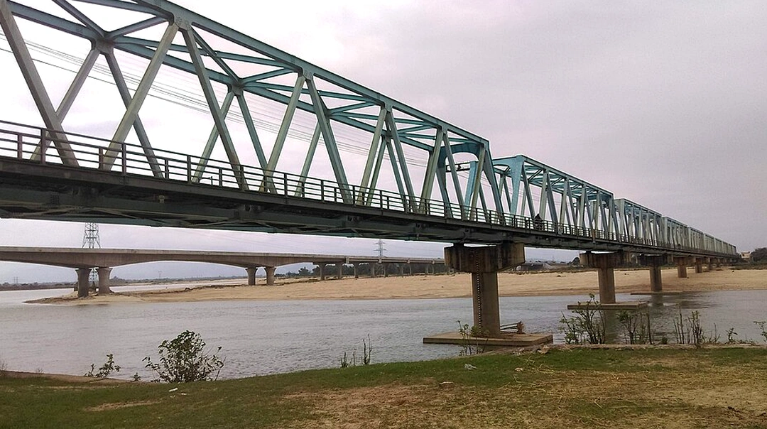
Across more than a century of existence, the bridge has been not only a technological milestone, but also a living witness to turbulent historical shifts and regional geopolitics. From 1937 to 1940, as the war of resistance against Japanese aggression raged across China, the Dian-Vietnam bridge suddenly took on a life-or-death historical mission, becoming the sole “lifeline” (生命線) through which the international community shipped military aid, ammunition, and medical supplies to Nationalist resistance forces fighting fascism. Yet that crucial strategic position placed the bridge squarely in the path of wartime destruction; in September 1940, as part of a scorched-earth resistance policy to halt advancing Japanese forces pushing down from Indochina, Nationalist authorities detonated and destroyed the northern approach and bridgehead. That wound of war temporarily severed a vital trade artery, ushering in long years steeped in conflict, division, and neglect.
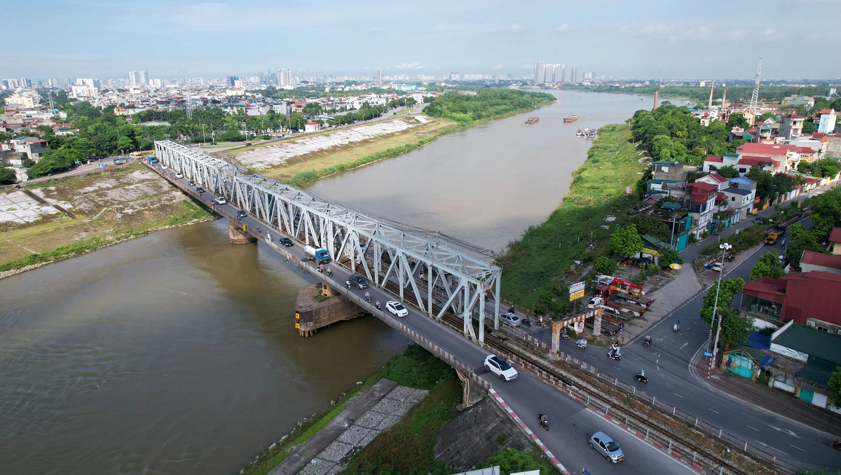
Entering the period from the 1950s through the 1980s, the historic span endured Cold War shifts and complex geopolitical blockades between neighboring states, becoming a tightly militarized zone far removed from its once-bustling commercial trains, with only echoes of the imperial past lingering amid quiet mountains. It was not until reform and opening-up took hold that researchers and authorities re-evaluated the structure’s historical, architectural, and cultural value in full. From archival records in original French documents, original engineering drawings, and survey reports in “History of Railway Construction in Colonial Indochina” to weathered marks on prefabricated steel girders, every facet of the bridge’s significance was established. The landmark’s official turning point came in 2006, when the Premier of the People’s Republic of China and the State Council recognized and listed Wujiacai Bridge (the local name for the Ren-shaped bridge) as a national cultural heritage site under the sixth batch of Major Historical and Cultural Sites Protected at the National Level (第六批全国重点文物保护单位), permanently safeguarding a century-old symbol of Franco-Asian history, engineering, and cultural intersection.
Tracing back to the far south of Yunnan Province, where geographic lines blur amid eternal mists of the Hengduan Mountains, the Dian-Vietnam Bridge—also known as the Renzi (Character “Ren”) Bridge—stands tall as steel testimony to turn-of-the-century French engineering ambition and mastery of terrain. In terms of landscape setting and topographic layout, the structure sits at one of the most rugged points along the southern Hengduan Mountain range, deep inside the steep-walled valley of a Nam Khe (Nanxi) river tributary. Shaped by vigorous erosion from swift currents flowing from the Mengzi plateau toward Pingbian, the gorge cuts through complex geology blending karst formations and ancient red-bed rock strata. Viewed through military geography and traditional feng shui, the terrain brings together a striking configuration that geomancers call “dragons flanking descending water” or “straight dragon descending to water,” where secondary ridges of the Ailao Mountains surge southward with sweeping momentum before meeting sheer natural rock walls.
Digging deeper into spatial planning, French bridge engineers astutely made the most of a rare natural “rock-wall cleft” (“tianfengbi”). Steep banks on either side draw together into an extreme V-shaped narrows where the river roars day and night and the gap between cliffs shrinks to a minimum. Rather than grading slopes or relying on costly, fragile spans, they anchored foundations directly into the area’s most solid geology—firm Ordovician limestone layers alternating with sandstone. Those natural cliff faces became ideal abutments bearing the immense thrust of the steel arch shaped like the character “ren” (人). Choosing those natural rock anchors both reduced landslide risks common in karst terrain and turned a treacherous gorge into a steadfast crossing for the cross-border rack railway.
Alongside terrain challenges, the microclimate inside the Renzi Bridge valley also posed a harsh ecological test for builders at the time. Nestled within the southern subtropical monsoon zone, the deep valley floor often held heavy, warm, humid air year-round. Mist rising from the Nam Khe blended with dense fog into heavy miasmatic layers, while heavy summer rainstorms frequently triggered severe landslides and rockfalls. Yet that very climate nurtured a dramatic tropical and monsoon forest ecosystem. Around the bridge, primeval trees rising overhead to canopy the sky and thick moss blanketing gray rock faces created a moving contrast. There, the cool, geometric precision of Western mechanical engineering did not overpower the landscape, instead blending hauntingly and grandly into the wild majesty of the southern frontier mountains.
Beyond the dense mists of the deep frontier valley, the Dian-Vietnam Bridge—grandly known as the Renzi Bridge (Character “Ren” Bridge)—emerges as a mechanical marvel set amid wild nature, showcasing early-twentieth-century Western engineering craft. To grasp the full worth of this structure, one must step into the world of original technical drawings designed and fabricated by the Eiffel railway construction firm (Société de Construction de Levallois-Perret) in France. More than just a crossing over a rugged gorge on the Yunnan–Haiphong railway, the bridge is a complex spatial-geometry problem solved through sharp structural reasoning, where every girder and span follows strict mechanics of structures.
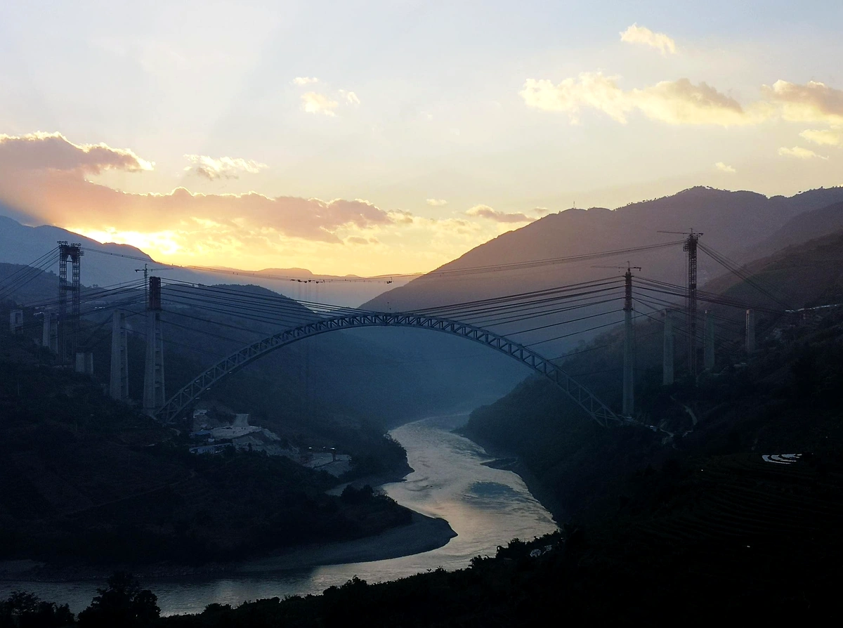
In form and spatial structure, Renzi Bridge is a classic example of a three-hinged steel arch truss bridge. Its main arch span reaches an impressive sixty-seven meters, while clearance from deck down to the stream far below rises to nearly one hundred meters, creating a space at once awe-inspiring and demanding against the construction limits of its day. The key to this masterpiece’s longevity lies in its three-hinge system: two hinges at the foundation bearings on either side and one hinge at the central arch crown. This design makes the bridge a statically determinate structure, allowing the steel frame to flex and expand smoothly across wide mountain temperature swings while relieving stresses from seismic fault tremors.
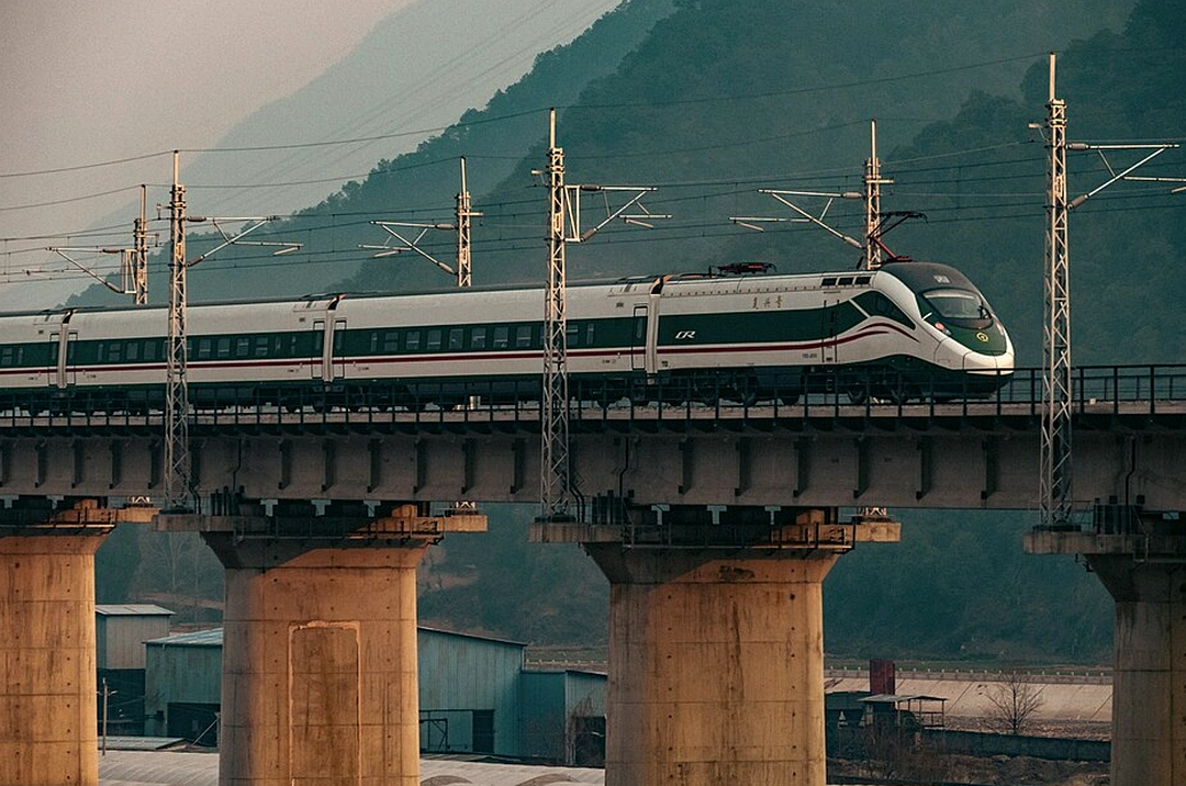
Looking closely at material craft, the bridge body is built from high-strength cold-rolled steel plates, angle steel, and I-beams made to strict European industrial standards, joined throughout with hot-driven rivets rather than modern welding, which was not yet reliable at the time. Every individual component was weighed and dimensioned to millimeter accuracy before crossing the ocean and reaching the site via rudimentary transport. Remarkably, this grand structure used no temporary falsework towers or scaffolding rising from the deep chasm below during erection. French engineers used an advanced cantilever/cable-erection method with overhead cables and pulleys across the gorge, turning the wide valley into an aerial workshop.
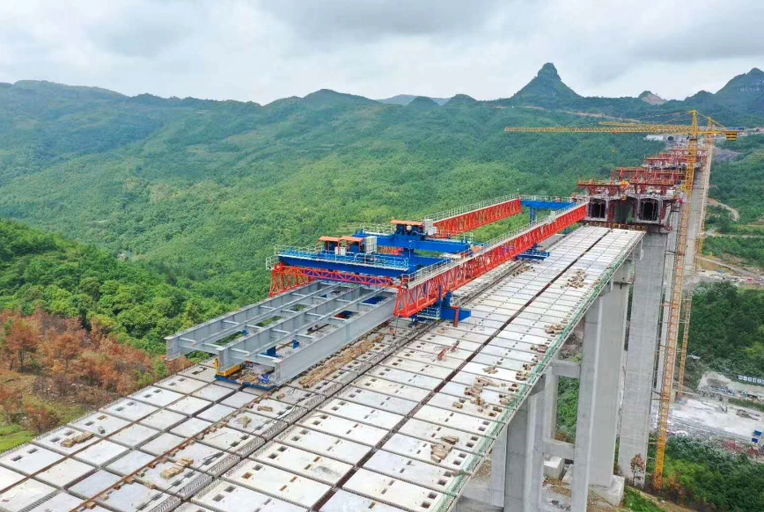
The sight of builders—both French engineers and local laborers—suspended in simple rattan baskets nearly one hundred meters above the ground amid mountain winds became a legend of courage and dedication. At that dizzying height, crews heated steel rivets in portable coal forges until glowing cherry-red, tossed them across to a catch-worker, slipped them into bolt holes, and hammered them rapidly with heavy mauls to form tight rivet heads. That high-precision manual process gave hundreds of thousands of steel rivets across the bridge lasting strength. Over more than a century of wind, rain, seismic vibrations, and the weight of historic rack trains, those hundreds of thousands of rivets still hold tight to the steel frame without loosening or failing.
The pairing of high-grade steel, a smart three-hinged determinate design, and skilled manual riveting turns the Dian-Vietnam Bridge into a living museum of global transport engineering history. Far more than a functional crossing, it preserves the industrial aesthetic of Europe’s heavy-industry era—where beauty is defined by geometric discipline, scientific calculation, and raw material strength. Amid majestic borderland mountains, the bridge still spans the gorge, telling the story of a time when human intellect and grit sought to conquer daunting natural distances.
When night falls, the Nam Khe (Nanxi) valley does not simply sink into wild mountain quiet; instead, it transforms into an enchanting artistic space where a century of history is illuminated by modern technology and local cultural spirit. To revive this priceless industrial heritage without harming its original fabric, Pingbian County authorities rolled out a non-intrusive landscape lighting project, turning the Dian-Vietnam Bridge into a giant light sculpture amid the mountains. Lighting design blends two color registers: warm-toned LEDs trace each steel girder, highlighting weathered metal texture and a century of history, while cool ice-blue accent lights bring out the quiet depth and spatial drama of the Nam Khe gorge. Brightness levels and beam angles are strictly calibrated to prevent glare, protecting the valley’s delicate ecosystem while giving visitors a striking visual experience.
Stepping onto viewing platforms arranged thoughtfully around the base of the bridge, visitors enter an open-air live stage where a regular cultural show titled “Love Chronicle of the Dian-Vietnam Railway” recalls memories of a frontier-opening era. Amid border breezes, stories of tens of thousands of laborers and engineers who poured sweat and blood into building a steel wonder between sheer cliffs are told through light, sound, and dance. The sound of the Hmong reed pipe (lusheng) echoes through the hills, while graceful traditional dances and colorful ethnic costumes turn the area around the bridge into a multidimensional cultural gathering spot. There, lines between past and present, Western industrial heritage and local soul seem to blur, giving way to an immersive experience where visitors standing beneath the glowing lights of the character-Ren bridge can feel the pulse of time and the bygone bustle of the famed rack railway.
Exploring the architectural marvel of the Dian-Vietnam Bridge—the century-old iron rack bridge spanning a deep frontier chasm—would feel incomplete without a culinary journey along this historic trade corridor. Sitting at the geographic crossroads between Pingbian County and Hekou County in the Honghe Hani and Yi Autonomous Prefecture, this area has seen rich culinary blending for over a century among southern Yunnan Han communities, indigenous ethnic minorities such as the Hani and Miao, and flavor traditions carried from northern Vietnam. That mingling gave rise to a distinctive borderland food current where every dish does more than satisfy hunger—it acts as a living museum preserving memories of workers and engineers who labored day and night digging tunnels and spanning bridges across rugged mountains along the Indochina railway.
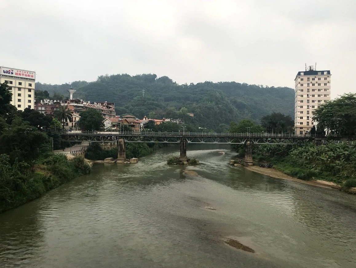
Holding pride of place on the highland borderland food map is Miao herbal grilled pork from Pingbian, a food tradition shaped by life in misty mountain forests. Pork belly cut from local black pigs—prized for firm lean meat, crisp fat, and rich sweetness—is seasoned with signature mountain aromatics including Sichuan pepper/makhwa-style wild spice (mujiangzi), fresh mint leaves, and wild sweet basil. Set over glowing charcoal, sizzling fat mingles with herbal oils to release an enticing aroma that awakens every sense. Well-grilled pork has crisp crackling skin and juicy, sweet meat inside; enjoyed with hand-pounded chili salt, it warms the body and eases the biting chill of deep valleys below Renzi Bridge.
Descending from lofty mountain slopes toward the border trade town of Hekou, palates are met by the light refinement of local-style Vietnamese rice rolls (banh cuon), also fondly called “xiaoquanfen” locally. Fragrant rice flour milled fine from valley rice is spread paper-thin over taut cloth above boiling water and steamed in moments into a delicate, silky wrapper that holds its tender texture without turning mushy. Inside the delicate wrapper sits savory filling of minced pork stir-fried with crisp wood-ear mushrooms and sea-flavored dried shrimp. Served alongside traditional Vietnamese pork roll (cha lua) and generously sauced with sweet-and-sour fish-sauce dressing crafted from fish sauce, fresh lime, garlic, and chili, it brings a refreshing balance suited to the warmer lower Red River valley.
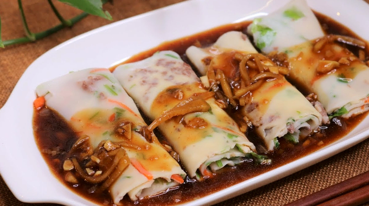
Woven into Miao spiritual life and traditional festivals, five-color sticky rice—also known locally as floral sticky rice (“huanuomifan”)—stands as an emblem of good fortune, prosperity, and reverence offered to deities and local earth spirits. To make this celebrated dish, fragrant glutinous rice is soaked overnight in natural plant extracts from mountain flora—such as magenta-red cam (magenta plant) leaves, golden pagoda-tree blossoms, and dark-tinted leaves—creating five vibrant colors symbolizing the Five Elements. Steamed in a traditional wooden steamer, each plump grain gives off the fresh aroma of new harvest rice blended with natural nutty sweetness, chewy yet non-sticky, serving as a cherished bond at mountain markets and spring village gatherings.
Rounding out a culinary journey along the historic railway is a distinctive highland variation of crossing-the-bridge noodles (rice noodles/pho in hot broth), where southern Yunnan Han culinary tradition gains fresh vitality from borderland mountain ingredients. Broth for this railway-inspired version is simmered for eight hours from fresh pork marrow bones and free-range hens, enriched with rare wild forest mushrooms that appear after early rains along high slopes—such as termitomyces (jitong) and bolete mushrooms—yielding a clear, sweet, golden-hued broth fragrant with natural herbal notes. Diners dip paper-thin slices of beef, fresh fish slices, dozens of fragrant herbs, and finely shredded banana blossom into the steaming broth, creating an uplifting meal where history, culture, and flavor come together in frontier mountain air.
Closing a journey back in time to this landmark of the Indochina railway, a thorough practical guide is the golden key to making a trip to the Dian-Vietnam Bridge (Century-Old French Rack Railway Bridge)—known in Chinese as 滇越铁路人字桥—in the Wujiacai valley of Yuping Town, Pingbian County, smooth and safe. As a century-old engineering work tucked in rugged Yunnan mountains, planning transport, knowing schedules, and taking personal safety precautions play a decisive role for every traveler visiting this breezy frontier region. Regarding hours and visiting rules, the outer scenic surroundings around the bridge remain open year-round on all days of the week without time limits across the open mountains. However, to access the central bridge area and historic trail network closely, visitors should note standard site management hours that generally run from 08:30 AM to 05:30 PM daily. The historic character-Ren bridge itself is a national cultural relic with no direct admission fee, though when entering the Wujiacai scenic zone, a modest ecological conservation contribution or shuttle/electric-cart fee may apply depending on local planning arrangements at the time.
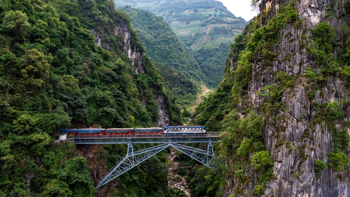
Reaching the century-old bridge requires careful transport planning given the challenging high-mountain terrain with winding passes and steep grades. Ideal starting points for travelers are taking a high-speed train to Hekou North Railway Station or Mengzi Railway Station, then transferring via intercity buses or private car directly to Yuping Town in Pingbian County. The final kilometers leading to the bridge area test driving skills with continuous winding mountain roads, steep gradients, and sharp hairpin turns. Field travel specialists strongly advise against using low-clearance cars or personal electric mopeds on these mountain roads; instead, renting a capable high-clearance SUV or booking a dedicated tour vehicle through local operators is the safest, most reliable way to handle rugged terrain.
Once in the historic valley area, following a logical sightseeing sequence helps visitors take in every prime viewpoint of this remarkable structure. A standard route typically begins at the visitor service center for necessary check-ins before taking an electric shuttle or walking along time-worn trails toward the core area. From the southern viewing platform, a dramatic panoramic view of the iron bridge suspended between deep chasms opens up, offering a prime framing angle for architectural photography. Next, visitors follow stone steps down toward the valley floor to get as close as possible, inspecting the riveted steel trusswork, sturdy abutments, and nineteenth-century European rivet craftsmanship directly. The visit feels even fuller when pausing by the memorial stele, historical reliefs, and detailed interpretive boards near the bridgehead to reflect on the sweat and sacrifice of tens of thousands of workers and engineers in this remote gorge.
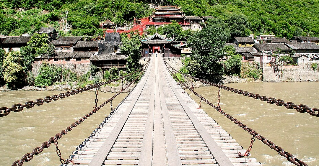
Alongside natural and historical grandeur come strict expectations for protective gear and personal safety for every member of the party. Damp rocky terrain and stepped paths call for sturdy, high-grip, slip-resistant hiking shoes paired with breathable long sleeves and trousers for sun protection as well as defense against insects and dense roadside brush. Packing essentials include insect repellent, a wide-brimmed hat, a compact umbrella or rain poncho for changeable mountain weather, and a power bank for electronic devices. A firm rule to remember is strictly respecting heritage protection rules: never climb over guardrails, climb onto the bridge superstructure, or linger without authorization on active railway tracks, as doing so risks serious danger. Especially when visiting during the rainy season from May through October each year, travelers must stay alert to potential hazards such as landslides and sudden flash floods sweeping down from upstream. To make your journey to this distinctive engineering landmark smooth, safe, and memorable, you can explore all-inclusive tour packages tailored by experienced specialists.