Tucked amid the majestic folds of the Himalayas beneath year-round clouds and snow, the Kingdom of Bhutan has long held sacred lore under its native name *Druk Yul*, meaning “Land of the Thunder Dragon.” The name traces to the Drukpa Kagyu lineage of Vajrayana Buddhism, where thunder rolling through steep valleys around Paro and Thimphu was reverently seen as the voice of a protective dragon of the Dharma. Across early centuries, the land consisted of valley principalities divided by sharp ridges and dense forests, where local leaders and monastic lineages vied for influence before a unified state emerged.
A defining turning point in Bhutan’s state formation came in 1616 when Zhabdrung Ngawang Namgyal—an accomplished Drukpa master who came from Tibet—established his authority in the region. Combining strategic leadership with spiritual standing, he united rival factions, repelled northern incursions, and laid foundations for a unified Bhutan. Zhabdrung developed the *dzong* model—large stone-and-timber fortress-monasteries serving as defensive strongholds, administrative centers, and monastic seats—while establishing the dual system of governance known as *Chhoe-sid*, balancing secular administration under the *Druk Desi* with spiritual leadership under the *Je Khenpo* under the *Tsa Yig* legal code.
More than two centuries after Zhabdrung’s passing, regional rivalries among *Druk Desi* contenders brought internal friction into the late nineteenth century. Order was consolidated by Gongsar Ugyen Wangchuck, the influential *Penlop* (governor) of Trongsa. On December 17, 1907, at historic Punakha Dzong, representatives of the nobility, clergy, and regions elected Ugyen Wangchuck as the first hereditary *Druk Gyalpo* (Dragon King), establishing the Wangchuck dynasty that continues today.
Under successive Wangchuck monarchs, Bhutan preserved its independence and cultural identity while gradually opening to the wider world. In 2008, the monarchy promulgated a written constitution transitioning the country into a democratic constitutional monarchy. Rather than focusing solely on GDP, Bhutan guides policy around Gross National Happiness (GNH)—built on sustainable environmental conservation, preservation and promotion of culture, sustainable and equitable socio-economic development, and good governance.
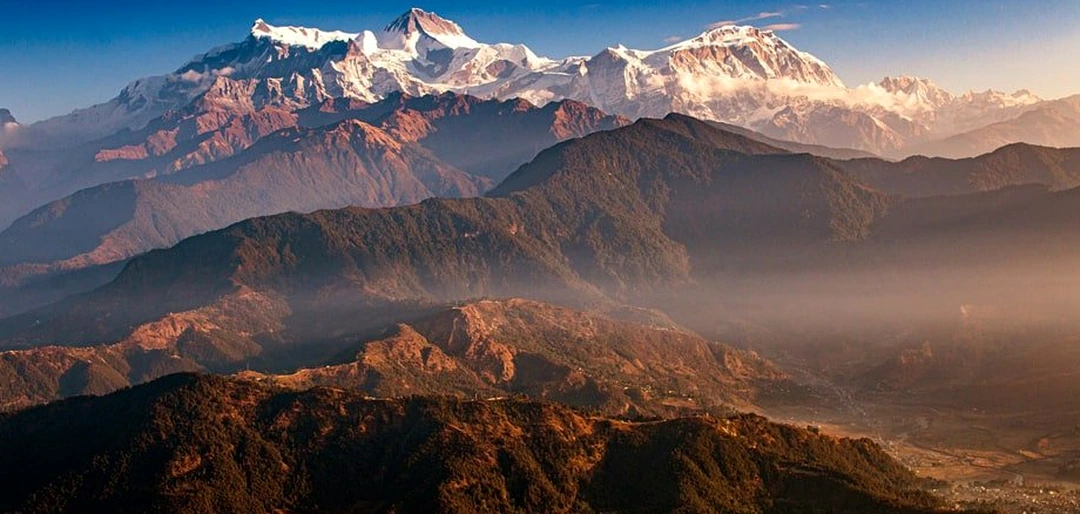
Bhutan sits along steep southern slopes of the Himalayas, where sharp elevation changes create dramatic ecological shifts. Rising from subtropical foothills in the south near India through fertile inner valleys around 2,000 to 3,000 meters—such as Paro, Thimphu, and Punakha—up toward high alpine peaks including Gangkhar Puensum at 7,570 meters (among the highest unclimbed peaks in the world, protected by local reverence and mountaineering restrictions), Bhutan’s rugged mountain terrain shapes every valley and pass.
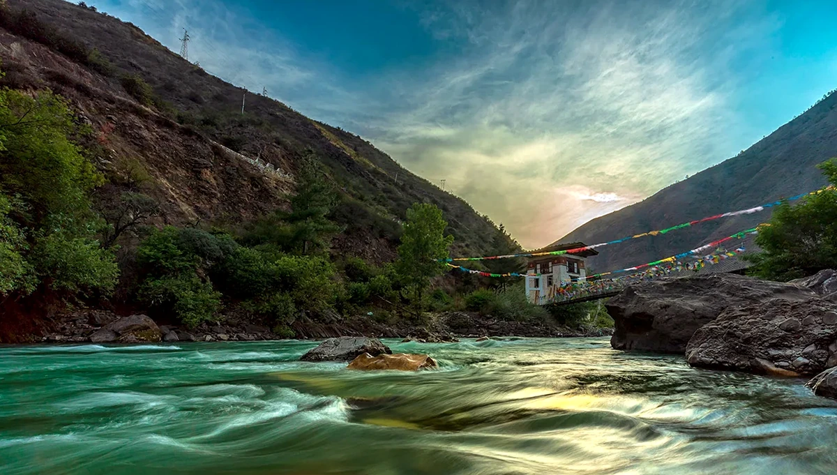
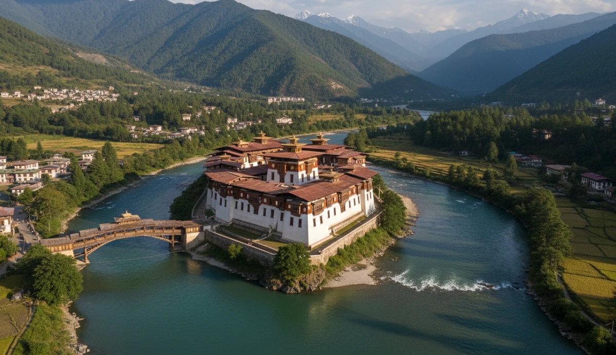
Settlements and traditional planning in Bhutan follow river valleys fed by mountain snow and glaciers. Valleys like Paro, Thimphu, and Punakha trace waterways such as the Paro Chhu, Wang Chhu, and the confluence of the Pho Chhu and Mo Chhu. Traditional builders often sited *dzongs* on rocky spurs or river confluences for strategic sightlines and natural protection—exemplified by Punakha Dzong standing at the meeting point of the Pho Chhu and Mo Chhu rivers.
Balance between built heritage and nature is reinforced by Bhutan’s constitutional commitment to maintain at least 60% of the country under forest cover for all future generations, helping support its carbon-negative status. Traditional construction favors rammed-earth walls, stone masonry, and fitted timber joinery—often without metal nails—finished with whitewashed walls, sloping timber-shingle or tiled roofs, and decorative window frames blending naturally with mountain surroundings.
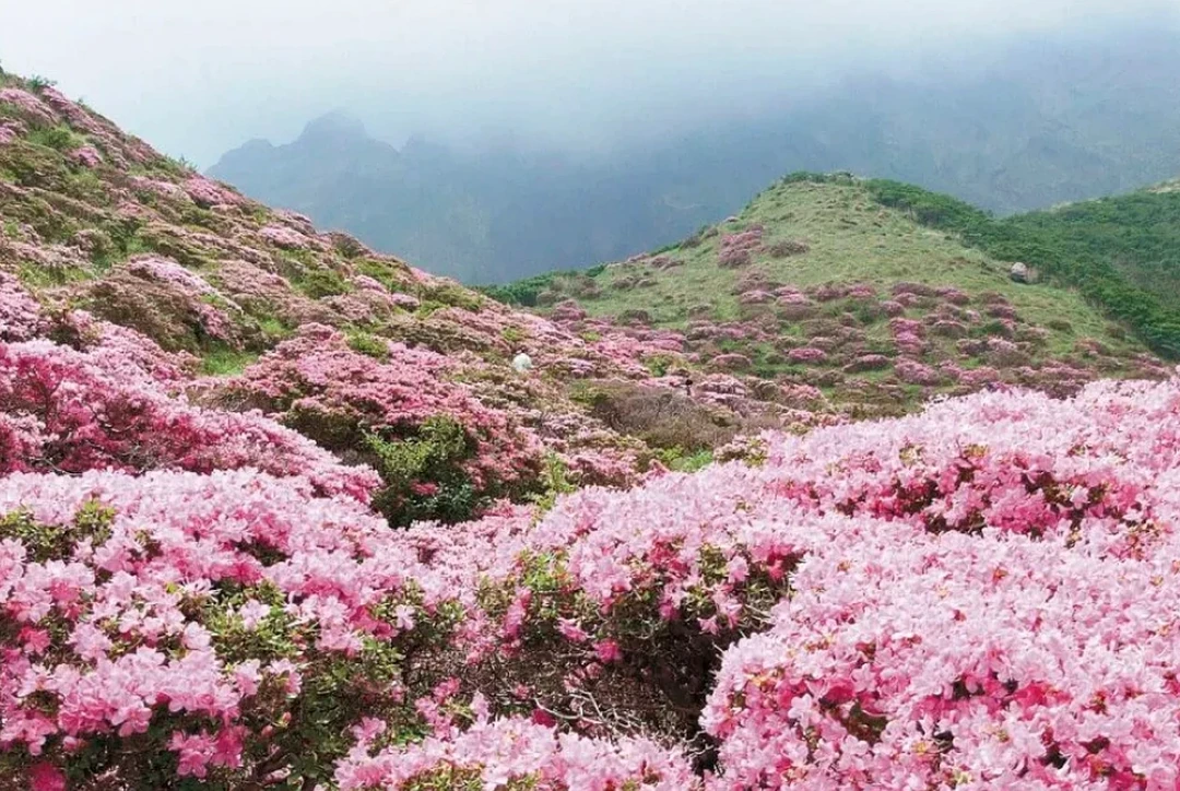
Sharp elevation shifts bring varied climates and plant life over short distances. From misty high passes like Dochula above 3,100 meters—known for rhododendrons in spring and distant Himalayan views on clear days—winding roads drop toward warmer Punakha valley floors with terraced fields and seasonal blooms, where rivers, ridges, and forests hold strong cultural and spiritual associations.
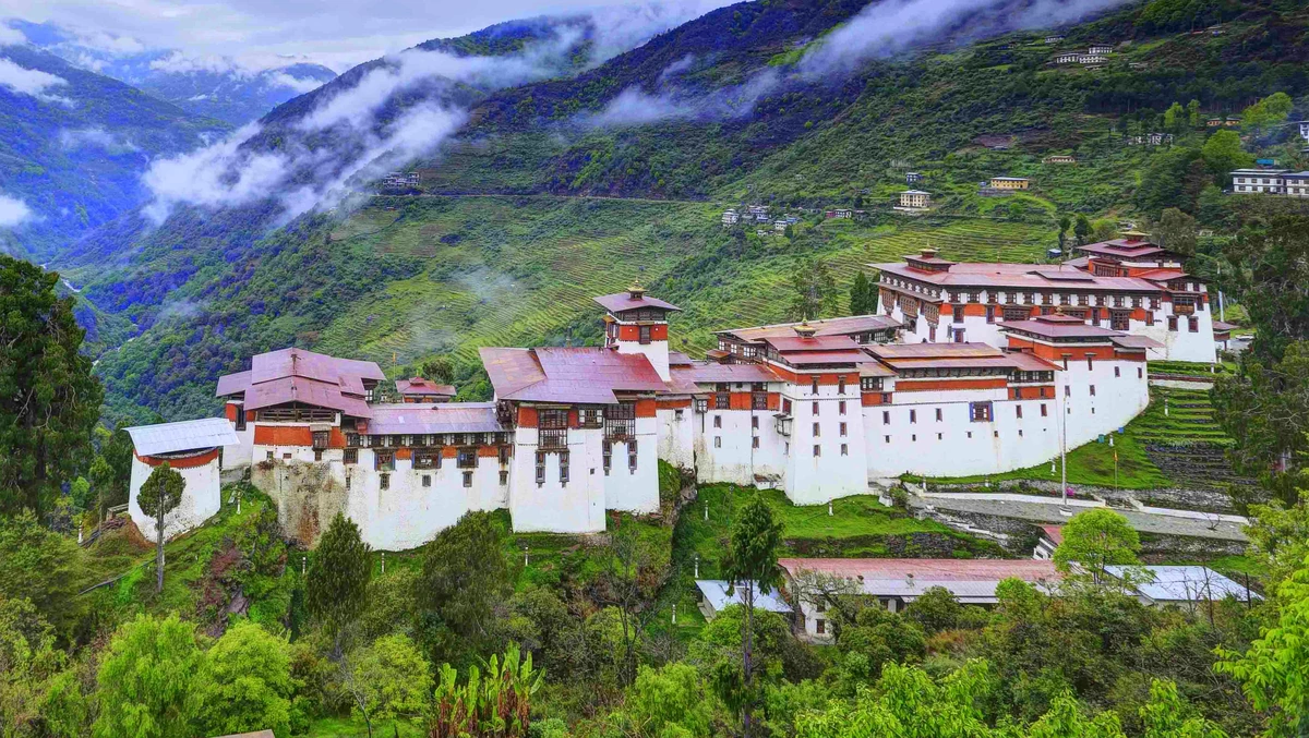
Across Bhutan’s valleys, *dzongs* stand as prominent architectural landmarks combining fortress-like walls with monastic and civic spaces. Built traditionally by master builders and artisans following generations-old proportions and timber craft rather than modern industrial steel, *dzongs* anchor the character of districts across the kingdom.
To withstand mountain terrain and seismic activity, builders paired thick battered walls of rammed earth (*pakhpa*) and stone with fitted timber framing (*shing-tsham*) joined via interlocking wooden joints. Flexible timber joinery helps structures absorb movement without cracking the way rigid materials might.
Punakha Dzong—formally *Pungtang Dechen Photrang* (“Palace of Great Bliss”)—stands at the confluence of the Pho Chhu and Mo Chhu rivers. Built across courtyards (*dochey*) leading from outer administrative blocks toward the main assembly hall (*kunrey*) and central tower (*utse*), its stone river-facing base helps protect against seasonal water swells while framing views over the valley.
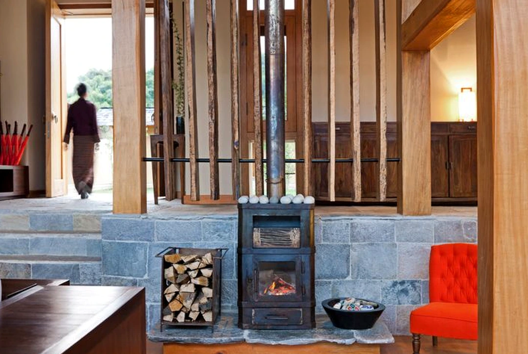
Detail inside *dzongs* reflects *Zorig Chusum*—Bhutan’s thirteen traditional arts and crafts—including carved timber beams and projecting *rabsel* windows, mineral-pigment paintings (*lhazo*), cast metalwork (*lugzo*), and woven textiles (*thagzo*). Together, craftsmanship and Drukpa Kagyu Buddhist motifs give these spaces a calm, reverent presence.
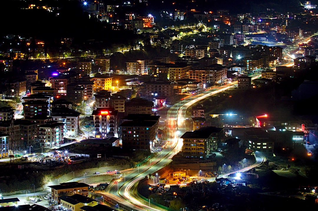
At dusk across Bhutan’s valleys, evening life stays quiet and measured rather than loud or neon-lit. In towns like Thimphu and Paro, restrained warm lighting helps limit light pollution at high elevation, leaving crisp night skies over mountain ridges and historic *dzongs*.
Light inside temples and shrines often comes from butter lamps (*chöme*) lit with yak or clarified butter and cotton wicks. In Tibetan Buddhist tradition, offering butter lamps symbolizes dispelling ignorance with wisdom, casting a warm glow over murals and sacred images inside quiet halls.
During major religious festivals (*tsechu*), masked *cham* dances take place in *dzong* courtyards. Performed by monks and lay dancers in brocade robes and carved masks accompanied by long horns (*dungchen*) and drums, *cham* dances are sacred ritual performances rooted in Buddhist teachings rather than commercial entertainment.
Later in the evening, small cafés and eateries along streets like Norzin Lam in Thimphu offer a cozy spot to warm up, perhaps with *suja* (salted butter tea), *ara* (traditional grain spirit), or local folk music while locals in *gho* and *kira* unwind in the cool mountain air.
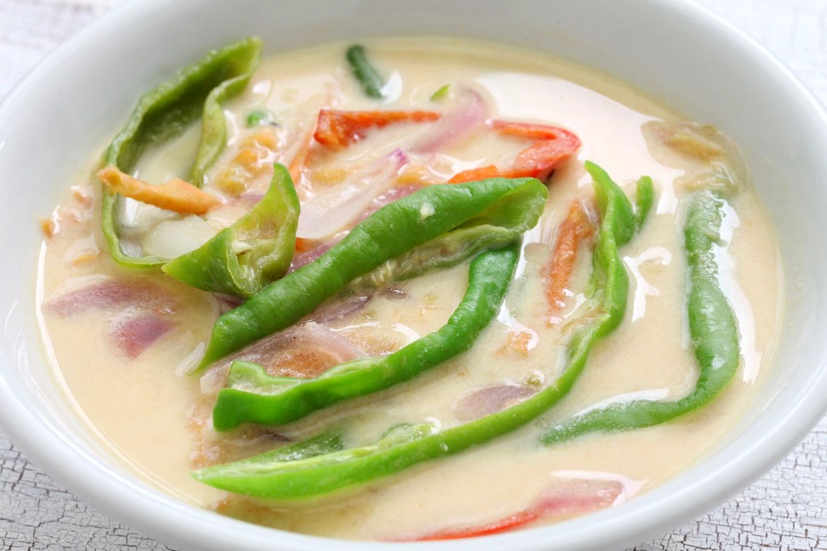
Bhutanese cuisine reflects mountain agriculture, cool highland seasons, and dried or preserved ingredients. Chilies are treated as a core vegetable rather than a minor spice, helping bring warmth to chilly valley meals alongside grains like Bhutanese red rice, buckwheat, and barley.
A signature dish is *Ema Datshi*—chilies simmered with *datshi* (local cheese made from cow or yak milk)—often served with red rice. Popular variations include *Kewa Datshi* (with potatoes) and *Shamu Datshi* (with mushrooms), offering rich, spicy-savory comfort suited to cool mountain evenings.
Air- and smoke-dried meats such as *Shakam Paa* (dried beef) reflect traditional highland preservation. Simmered with radish, dried chilies, and a little butter or fat, it makes a hearty, flavorful dish after crisp mountain travel.
Shared meals are often served on turned wooden bowls and trays (*dapa*) crafted by artisans such as those in Trashiyangtse, accompanied by *suja* butter tea or warmed *ara* in a welcoming setting that highlights Bhutanese hospitality.
Bhutan follows a “high value, low volume” tourism model to protect its environment and Vajrayana Buddhist heritage, charging a Sustainable Development Fee (SDF) per night (typically USD 100 per person per night under standard policy rules, alongside a USD 40 visa application fee—check current official Bhutan immigration/tourism updates before booking, as policies and waivers can vary). International visitors generally arrange travel through licensed tour operators/guides as required by entry rules.
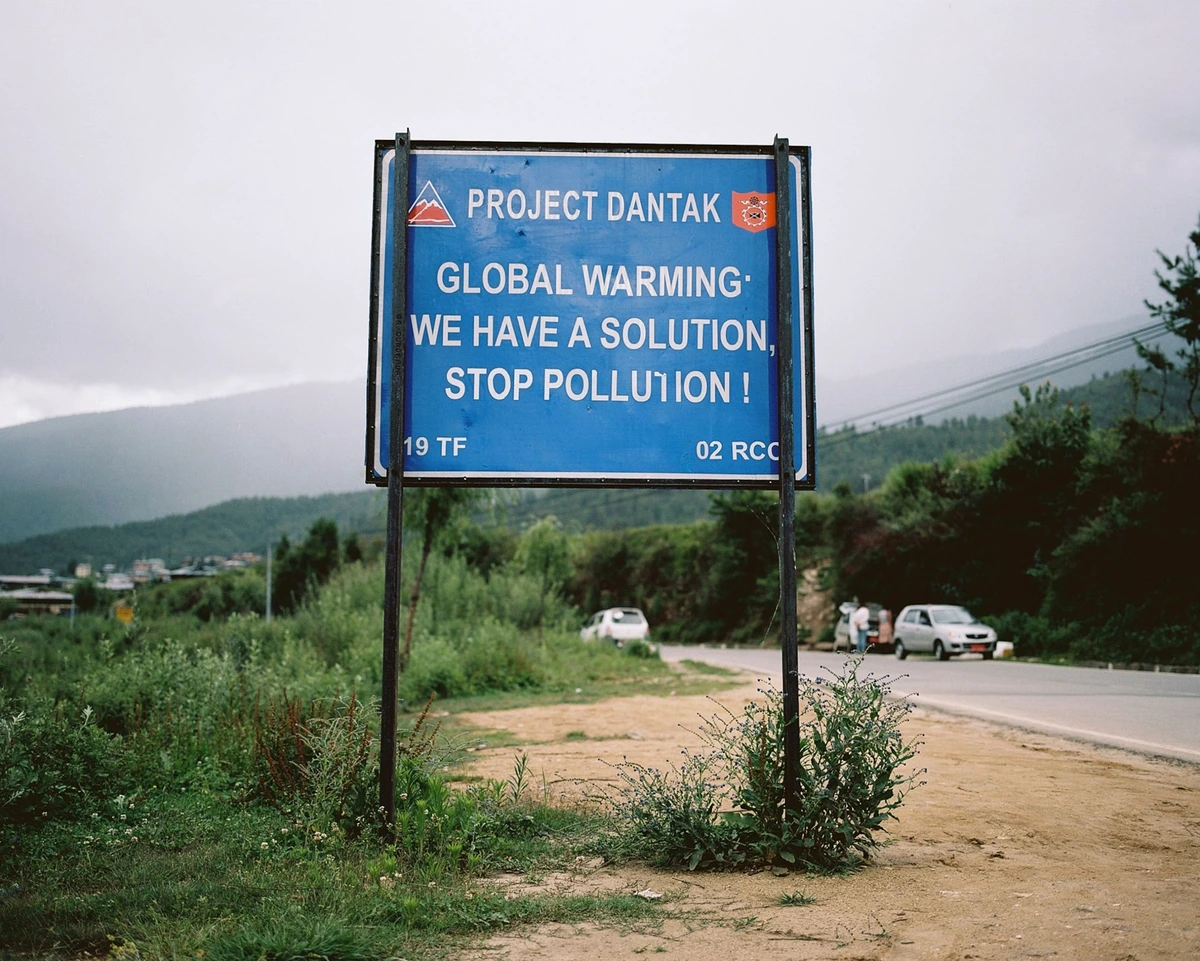
Getting between Paro, Thimphu, and Punakha involves winding mountain roads—such as crossing Dochula Pass above 3,100 meters—where vehicles like minibuses or SUVs navigate steep switchbacks, and Thimphu notably uses traffic police in booths rather than traffic lights. Allow extra travel time between valleys for mountain driving and photo stops.
At *dzongs*, *lhakhangs* (temples), and *chortens* (stupas), hours for inner shrines typically run around 9:00 AM to 5:00 PM (with breaks or earlier closures). Wear modest clothing covering shoulders and knees/ankles, remove shoes and hats before entering temple halls, walk clockwise around *chortens* and prayer walls, and avoid taking photos inside sacred shrine interiors where photography is prohibited.
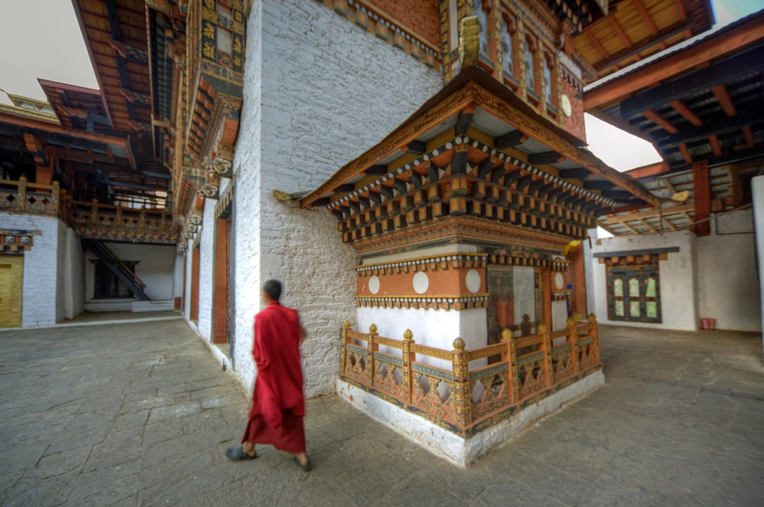
Hiking up to Paro Taktsang (Tiger’s Nest), perched dramatically on a cliff around 3,120 meters above sea level, takes several hours round-trip on steep forest and stone paths. Wear sturdy walking/hiking boots, pace yourself in thinner mountain air, dress in layers, and take a break at the mid-way café before the final climb. For a smoothly arranged trip covering permits, transport, and guides, explore all-inclusive Bhutan tour packages.