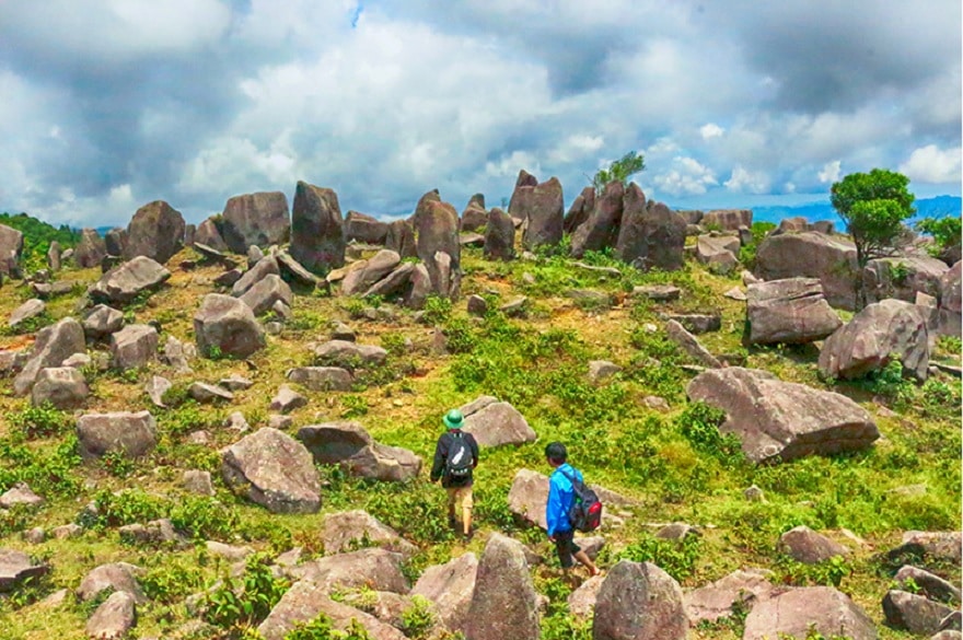
Keo Lan Mountain compared to the “Dong Van Karst Plateau.”
Location and Scenery of Keo Lan Mountain
Keo Lan Mountain is a peak situated in Phac Chi Hamlet, Dong Van Commune, Binh Lieu District, Quang Ninh Province. Shaped somewhat like a large pair of scissors jutting out amid reed fields, the mountain reaches roughly 1,200 meters above sea level near border marker No. 1327. As a newer travel spot in the area, it draws visitors passionate about highland scenery and local culture.
From the summit of Keo Lan Mountain, you can take in sweeping views across Binh Lieu and neighboring Chinese territory, feeling the vastness and calm of the border highlands. You can also spot border marker No. 1298—a symbol of patriotism and longstanding ties between people along the Vietnam–China border—and capture photos or reflect on peace and friendship.
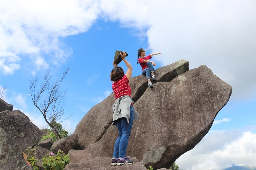
What sets the summit apart is an expansive rocky field stretching out beneath open skies, filled with boulders of varying sizes and shapes—from broad slabs as wide as a wooden sleeping platform (*phan*) and upright rock walls to square stones rising barely knee-high. Many visitors are reminded of Ha Giang’s rocky plateau on Keo Lan Mountain, though unlike Ha Giang’s sharp, jagged cat-ear limestone, Keo Lan’s rocks tend to look rounder and softer—offering plenty of creative photo angles.
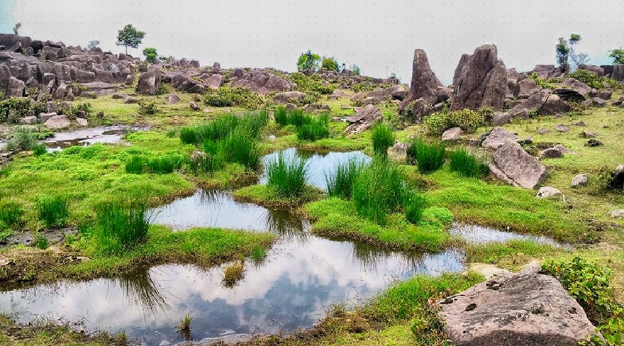
Clear water pool surrounded by lush green plants and grass.
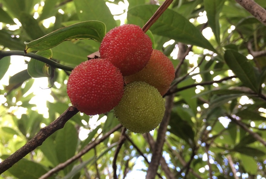
Alongside the rocky expanse, the mountaintop holds small water pools bordered by lush green grass where water buffalo occasionally graze peacefully. Along the climb up, you may also spot ancient wild *thanh mai* (Chinese bayberry) trees and sample refreshing, sweet-tart wild *thanh mai* berries—a distinctive treat of northeastern mountain forests.
How to Get to Keo Lan Mountain
To reach Keo Lan Mountain, first travel to central Binh Lieu District. From Hanoi, you can go by bus or motorbike: buses depart from My Dinh or Nuoc Ngam bus stations on the Hanoi – Binh Lieu route (such as Hung Long or Kien Duc) for roughly 200,000 VND per ticket in about 6 to 7 hours, while riding a motorbike along National Highway 18A through Bac Ninh, Bac Giang, Lang Son, and Quang Ninh covers roughly 270 km in about 8 to 9 hours—so carry full documents and basic repair tools for a long ride.
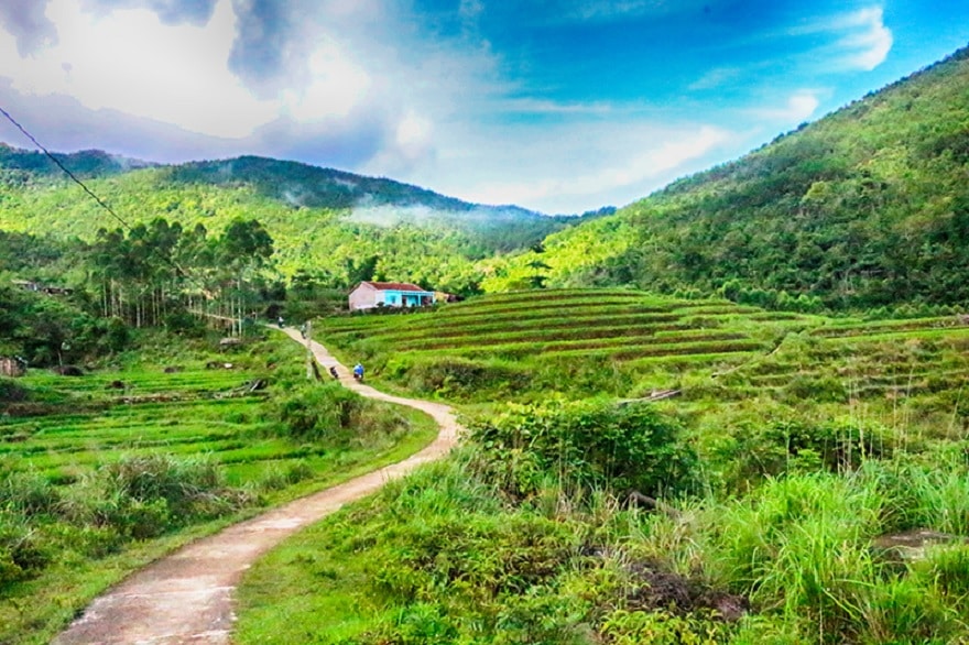
Trail up Keo Lan Mountain
From Binh Lieu, ride a motorbike toward Hoanh Mo Border Gate, turn toward Bac Phong Sinh at Dong Van Market, and ask locals for directions along winding mountain passes and hillside roads. Because the final ascent follows a narrow trail, park at a local home and trek roughly 1.6 km to the summit—not overly steep or extreme, yet rewarding stamina with pine woods, purple rose-myrtle (*hoa sim*) patches, clear streams, and friendly villagers along a roughly 40-minute hike.